Training and education

Safe Routes to School Local School Project: A health evaluation at 10 low-income schools

Cooper, Jill F.
McMillan, Tracy
2010

The Safe Routes to School National Partnership (Partnership) founded the Local School Project (Project) in 2008 to assist ten schools in lowincome communities to: 1) develop and evaluate a school-based SRTS program, 2) build local capacity to apply for state or federal SRTS funding, and 3) increase safe walking and bicycling to and from the school and in the community. The Centers for Disease Control and Prevention, Kaiser Permanente, and the Robert Wood Johnson Foundation provided funding for the Project. This report presents the results, lessons learned and recommendations...

Evaluation of Traffic and Environment Effects on Skid Resistance and Safety Performance of Rubberized Open-grade Asphalt Concrete

Oh, Soon Mi
Ragland, David R.
Chan, Ching-Yao
2010

Wet pavement-related collisions represent a significant traffic safety concern, due in part to the lack of adequate friction between tire and pavement, known as skid resistance. State agencies employ a skid number (SN) system, based on a standard test procedure in which a locked wheel is towed at 40 mph and the skid number (SN40) is calculated from the measured resistance. SN40 is used as a reference value for speeds both greater than and less than 40 mph. For most Departments of Transportation (DOTs) in the nation, excluding California, pavements for which the SN40 is below 30 are deemed...

Community Pedestrian Safety Engagement Workshops in California

Babka, Rhianna JoIris
Cooper, Jill F.
Alfsen, Wendy
Sabin, Marilyn
2011

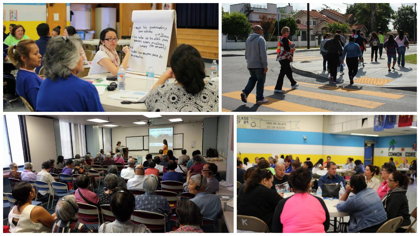
The Community Pedestrian Safety Engagement Workshops are a community capacity building program to involve local residents in community pedestrian safety. The focus of these workshops is to engage, educate and empower residents to ensure they have the skills, knowledge and resources they need to become active in improving pedestrian safety in their neighborhood, district, city or county. This program uses pedestrian planning and community engagement curriculums as a framework for the content, and goes beyond this to tailor each workshop to the individual community needs, ensuring genuine...

Modeling Bicycle Passing Maneuvers on Multilane Separated Bicycle Paths

Li, Zhibin
Wang, Wei
Liu, Pan
Bigham, John M.
Ragland, David R.
2012

Bicycle passing maneuvers represent interferences between bicycle travelers and are important operational attributes of bicycle traffic. The number of bicycle passing maneuvers has been used to evaluate the level of service (LOS) of off-street bicycle facilities. The primary objectives of this paper are to propose a method to model bicycle passing maneuvers on multilane bicycle paths with heavy bicycle traffic and explore the characteristics of those passes. The authors classified bicycle passing maneuvers into free, adjacent, and delayed passes according to the lateral distance...

Estimating Pedestrian Accident Exposure: Automated Pedestrian Counting Devices Report

Bu, Fanping
Greene-Roesel, Ryan
Diogenes, Mara Chagas
Ragland, David R.
2007

Automated methods are commonly used to count motorized vehicles, but are not frequently used to count pedestrians. This is because the automated technologies available to count pedestrians are not very developed, and their effectiveness has not been widely researched. Moreover, most automated methods are used primarily for the purpose of detecting, rather than counting, pedestrians (Dharmaraju et al., 2001; Noyce and Dharmaraju, 2002; Noyce et al., 2006). Automated pedestrian counting technologies are attractive because they have the potential to reduce the labor costs associated with...

Estimating Pedestrian Accident Exposure: Protocol Report

Greene-Roesel, Ryan
Diogenes, Mara Chagas
Ragland, David R.
2007

Walking is a healthful, environmentally benign form of travel, and is the most basic form of human mobility. Walking trips account for more than 8 percent of all trips taken in California, making walking the second most commonly used mode of travel after the personal automobile (Caltrans, 2002). In addition, many trips made by vehicle or public transit begin and end with walking.

In spite of the importance and benefits of walking, pedestrians suffer a disproportionate share of the harm of traffic incidents in California. As noted above...

Using Time-Based Metrics to Compare Crash Risk Across Modes and Locations

Guler, S. Ilgin
Grembek, Offer
Ragland, David R.
2012

The objective of this work is to identify better metrics of exposure when comparing traffic crash risk across modes or across locations. We propose that total time travelled should be used for road user exposure to crash risk. The idea behind this is that travel time reflects the differences in speeds across different modes and hence should be used as the basic exposure metric from which crash risk based on other metrics, such as travel distance, can easily be derived. We also propose that when comparing crash risk of different modes across different locations the time-based mode share...

Recommendations to Improve Pedestrian Safety in the Town of Paradise

Dang, Tony
Alfsen, Wendy
2013

In response to the recent death of a Paradise youth who was struck on Skyway Road, the Town of Paradise invited California WALKS to facilitate a workshop providing community residents, Town staff members, and other professionals with an overview of pedestrian safety best practices, to conduct a walkability assessment of areas near the downtown core, and to lead small group discussions to develop specific recommendations for Town Council to improve the safety and walkability of Paradise. This report summarizes overall walkability and pedestrian safety observations of downtown Paradise, as...

Pedestrian Volume Modeling for Traffic Safety and Exposure Analysis: The Case of Boston, Massachusetts

Raford, Noah
Ragland, David R.
2005

This paper examines three types of pedestrian volume models in light of their usefulness for estimating pedestrian exposure for pedestrian safety research. The need for pedestrian flow data as part of pedestrian exposure and safety analysis is outlined, and the background of each type of model is discussed. It then selects the space syntax network analysis model to estimate pedestrian volumes for the city of Boston, Massachusetts. It was found that the model was able to accurately predict pedestrian flows (r-squared 0.81, p-value < 0.0001) after incorporating distance to transit stops...

Gap acceptance for vehicles turning left across on-coming traffic: Implications for Intersection Decision Support design

Ragland, David R.
Arroyo, Sofia
Shladover, Steven E.
Misener, James A.
Chan, Ching-Yao
2005

A left-turning vehicle (Subject Vehicle, SV) attempting to cross the path of an oncoming vehicle (Principal Other Vehicle, POV) at an intersection typically does not have the right of way. The main task of the SV driver is to find an adequate opportunity in opposing traffic to initiate the left-turn maneuver. To reduce the probability of a conflict, warning systems, such as Intersection Decision Support (IDS) systems, are being developed. These systems alert drivers of SV vehicles attempting to negotiate a left turnabout traffic approaching from the opposite direction. The current...